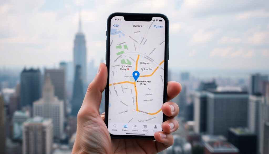
What City Am I In? Find Your Current City with GPS
You’ve glanced at your phone and asked yourself, “What city am I in right now?” Whether you’re traveling, lost, or just curious, finding your current city is something modern tech makes easy — most of the time.
Monthly active Google Maps users: Over 1 billion ·
GPS accuracy under open sky: Within 5 meters ·
Incorporated cities in the United States: Approximately 19,500
Quick snapshot
- Google Maps provides city-level accuracy in most urban areas (Google Maps Help (official support))
- GPS works best outdoors with a clear sky view (GPS.gov (U.S. government accuracy data))
- Exact city boundary detection may vary on borders — a GPS coordinate near a city line can flip between two names
- Accuracy of IP‑based location is inconsistent; Wi‑Fi positioning can show a wrong city completely
- No major disruption: geolocation technology improves gradually; the biggest change in the last decade was the shift to high‑accuracy mode on Android
- More reliance on Wi‑Fi RTT (round‑trip time) for indoor positioning will make city detection inside buildings more reliable
Key facts compiled from official sources and government data give a baseline for expectations.
Key facts at a glance
| Fact | Value |
|---|---|
| GPS accuracy | Typically 5–10 meters outdoors; lower indoors |
| Reverse geocoding | Converts coordinates to city names via databases like Google’s |
| Number of U.S. cities | 19,495 (as of 2020 Census) |
| Common error | Wi‑Fi location can show incorrect city when IP geolocation is used |
The pattern is clear: accuracy depends on signal environment more than hardware capability.
How do I find my current city?
Use your phone’s GPS
- Open your phone’s Settings, tap Location, and make sure it’s toggled on.
- On Android, enable Google Location Accuracy (also called High Accuracy) — it uses GPS, Wi‑Fi, and mobile networks together. Google Maps Help (official Android guidance) recommends also turning on Wi‑Fi and Bluetooth scanning for better results.
- On iPhone, go to Settings > Privacy & Security > Location Services and choose While Using the App or Always for Maps. Google Maps Help (official iOS guidance)
- Step outside if possible — GPS signals are strongest under open sky. According to GPS.gov (U.S. government performance data), civilian GPS is accurate to within 5 meters under good conditions.
Check your browser geolocation
- On a desktop or laptop, visit a site like randymajors.org or any “What is my location?” page. The browser will ask for permission to know your location — click Allow.
- If the site shows a different city, reload the browser and check that location permissions are granted. Google Maps Help (desktop troubleshooting) also recommends checking your internet connection and restarting the computer.
Use a dedicated website like randymajors.org
- Sites such as randymajors.org use your browser’s geolocation API to display your city instantly. They require no app install.
- Some sites also show your city by IP address, but that can be less accurate than GPS.
How can I see my current location on Google Maps?
Open Google Maps on mobile
- Launch Google Maps on your Android or iOS device. The app will automatically try to locate you if Location Services are enabled.
- A blue dot appears, marking your current position. Tap the blue dot to see your address and city.
Use the compass button
- In the bottom-right corner of Google Maps, there’s a circular crosshairs icon (the My Location button). Tap it to re-center the map on your location.
- If the blue dot’s beam is wide or points the wrong direction, calibrate the compass by moving your phone in a figure‑eight motion. Google Maps Help (official calibration guidance)
View location details by tapping the blue dot
- Tap the blue dot once, and a card slides up showing your current location (street, city, coordinates).
- If Google Maps shows a different city than where you actually are, it often means the GPS or Wi‑Fi signal is weak. Google Maps Help (low accuracy causes) notes that low location accuracy can result from weak GPS or Wi‑Fi signals.
What is my current GPS location?
Difference between GPS coordinates and city name
- GPS coordinates (latitude, longitude) are a precise numeric location, typically accurate to 5–10 meters. A city name is a human‑readable label assigned by reverse geocoding.
- Reverse geocoding uses databases like Google’s to map a coordinate to the nearest street address and city.
How GPS pinpoints city boundaries
- When you share your GPS coordinate, a service like Google Maps compares it against polygon boundaries of cities.
- On the border of two cities, the coordinate might fall inside one polyline or the other, occasionally showing the “wrong” city.
Limitations of GPS in dense areas
- Tall buildings, heavy tree cover, and indoor environments degrade GPS accuracy. Garmin Support (navigation device guidance) recommends enabling Google Location Accuracy and, if needed, resetting the A‑GPS state to refresh satellite data.
- In these cases, your phone relies more on Wi‑Fi and cell tower positioning, which can be less accurate.
A GPS fix alone doesn’t guarantee the correct city name if you’re near a border. The reverse‑geocoding algorithm must choose which polygon’s city attribute to return. That’s why sometimes the answer flips.
Which city and state am I in?
Using a ZIP code lookup
- Your ZIP code almost always corresponds to a single city and state. Free ZIP‑to‑city databases can tell you the city immediately.
- Accuracy: ZIP codes are designed for mail routing, not city boundaries. Some ZIP codes span multiple cities, and some cities have multiple ZIPs.
Checking city + state on map services
- In Google Maps, search for “my location” and the map will center on your blue dot. The card above the dot shows both the city and state.
- For a combined “city, state” string, simply tap the blue dot — the info card displays it.
Browser location shortcuts
- Use a dedicated “Where am I?” site — many show your city, state, ZIP, and coordinates in one view.
- If the browser location is wrong, check that Precise Location is enabled in the site’s permission settings. Mapline (location accuracy training) advises that location services should be on and location precision enabled in system settings.
Where is my phone location?
Enable location services on Android and iOS
- Android: Go to Settings > Location > turn on. Then tap Google Location Accuracy and enable Improve Location Accuracy. Samsung Support (official troubleshooting) also recommends toggling the Location icon off and on in the Quick Panel to reactivate GPS.
- iOS: Settings > Privacy & Security > Location Services > turn on. Choose While Using the App or Always for Google Maps.
- Permissions: Make sure Google Maps has permission to access precise location. Android Police (tech publication) explains that permissions should include “Allow all the time” or “Allow only while using the app” with precise location enabled.
Common GPS errors and fixes
- Blue dot wide beam: Calibrate compass with a figure‑eight motion.
- Location jumps around: Clear Google Maps cache and Google Play Services cache. Whizz Mobile (mobile guide) recommends checking that location is on and high accuracy is selected, then testing outdoors.
- No location found: Reload the app, restart your phone, or toggle Airplane mode to refresh radio signals.
Using Find My Device apps
- Android’s Find My Device and Apple’s Find My can show your phone’s location on a map.
- These apps use the same GPS/Wi‑Fi signals as Google Maps, so if Maps is inaccurate, these will be too.
A phone that can’t find its own location usually has either a permissions problem or a weak signal. Clearing cache and toggling location off/on fixes most cases. Google Maps Community Support (user‑proven tips) confirms that high‑accuracy mode and Wi‑Fi scanning are the two most effective tweaks.
What we know for sure — and what’s fuzzy
Confirmed facts
- Google Maps provides city‑level accuracy in most urban areas (Google Maps Help)
- GPS works best outdoors with a clear sky view (GPS.gov)
- Turning on Wi‑Fi and Bluetooth scanning on Android improves accuracy (Google Maps Help)
What’s unclear
- Exact city boundary detection may vary on borders — GPS coordinate can be assigned to the wrong city polygon
- Accuracy of IP‑based location is inconsistent; Wi‑Fi positioning can show a completely different city
- Indoor GPS reliability depends heavily on building construction and radio interference
The implication: you can trust GPS under open sky but should treat IP‑based and indoor results with caution.
What the experts say
To improve your location accuracy, make sure your device’s Wi‑Fi and Bluetooth are on. Google Maps uses these signals to determine your location even when you’re not connected to a network.
— Google Maps Help (official Android guidance)
Civilian GPS provides positioning accuracy to within 5 meters under open sky, but accuracy degrades near tall buildings, under dense foliage, and indoors.
— GPS.gov (U.S. government performance data)
If the blue dot’s beam is wide or points in the wrong direction, you’ll need to calibrate your compass. Move your phone in a figure‑eight motion until the beam narrows.
— Google Maps Help (calibration instructions)
On Samsung Galaxy devices, toggling the Location icon off and on in the Quick Panel can immediately re‑establish a GPS fix.
Summary
Finding your current city is almost always a solved problem — you have the hardware, and the software is free. But the answer can still go sideways if you’re indoors, near a city border, or relying on IP geolocation. For anyone who needs a reliable city name, the fix is almost always the same: step outside, turn on high‑accuracy mode, and let the phone’s multi‑signal triangulation work. For the millions of travelers, delivery workers, and everyday map users, that combination of GPS + Wi‑Fi + cellular turns a vague “somewhere around here” into an exact “this is my city.”
support.google.com, airdroid.com, pocket-lint.com, support.google.com, asurion.com
Frequently asked questions
Why does my Google Maps show a different city than where I am?
This usually happens when GPS signal is weak — indoors or in a “GPS canyon” of tall buildings. The phone then uses Wi‑Fi positioning, which can be inaccurate. Enable high‑accuracy mode and go outside for a clearer fix.
Can I find my city without GPS?
Yes — using a ZIP code lookup, IP geolocation, or Wi‑Fi positioning. But accuracy will be lower. IP geolocation can show the city associated with your ISP, which may be miles away. ZIP codes are usually reliable but can span multiple cities.
How accurate is ZIP code location?
ZIP codes are designed for mail delivery, not precise geography. A single ZIP can cover a city or a part of a city; some cross city lines. Use them as a rough guide, not a definitive answer.
What does ‘location unavailable’ mean on my phone?
It means the device cannot get a location fix — either because location services are off, permissions are denied, or the GPS receiver can’t see enough satellites. Restart the phone, toggle location off/on, and check app permissions.
Does using a VPN affect my city location?
Yes — a VPN changes your IP address, so any IP‑based location system will show the city of the VPN server, not your actual location. GPS remains unaffected, so Google Maps (with Location Services on) will still show your real city.
How do I change my location on Google Maps manually?
You can’t change your real GPS location, but you can search for any city or address. To report an incorrect map location, use the “Edit map” option in the sidebar. For testing, some users enable developer mode and install mock location apps — but that’s not for everyday use.
What city am I in if I’m near a border?
GPS coordinates near a city border can fall into either city’s polygon. The answer may flip if you move a few meters. Google Maps will show whichever city’s polygon contains the coordinate at that instant. Refresh the app to see if it changes.
Related reading
- What Is the Temperature? — A guide to finding your local weather, which also uses your location.
- Where is Mount Everest Located? — An example of how coordinates identify a famous location.
More related posts
 Scary Movies to Watch: Top Horror Films Ranked
 Both Sides Now Lyrics: Meaning, History, Original Singer
 Godzilla: King of the Monsters Cast – Why Brown Left & More
 What Is a Mocktail? Definition, History, and Popular Recipes
 Cast of The Girlfriend (TV Series): Full List & Guide
 The Hunger Games: Catching Fire – Plot, Watch Order, FAQ
 Senior Living Near Me: Costs, Options & Affordable Alternatives
 Cincinnati Reds vs Pittsburgh Pirates Match Player Stats